


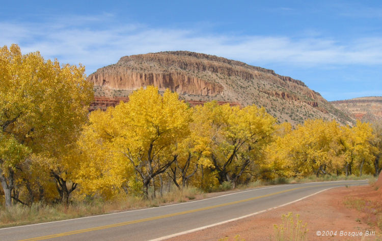
Gateway to Jemez River Valley, south of Jemez Springs on NM4
The following photographs were taken on October 16, 2011. The cottonwoods had barely started to change below Jemez Springs, so I've included one older photo, above, to show the lower part of the river valley. The autumn colors were the best I've seen in many years with the oaks more colorful than I've ever seen them. The weather was mild with only a light breeze. Many of these images were taken with the sun shinning through the leaves toward the photographer. Page updated October 19, 2011 with 3 additional photos.
The photos are displayed in chronological order from Battleship Rock above Jemez Springs on Hwy 4, around to an overlook on Hwy 126 above FS376, then back south on Forest Service Road 376 along Cebollita Creek to the Rio Guadalupe and the Gilman Tunnels.
For those interested: all post-processing in Photoshop CS5.1 including content-aware healing brush to remove power lines, subsequent to processing with Adobe Camera RAW and/or Photomatix Pro for HDR tone-mapping or exposure fusion, as shown in photo captions.
Canon EOS 7D, Canon EFS 15 - 85mm lens, f/22, single RAW image or JPG with exposure-bracketing of ±2 eV.

Tone-mapped, along Highway 4.

Tone-mapped image at entrance to picnic area and Camp Shaver.

Tone-mapped
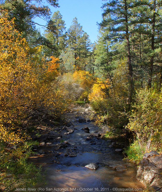
Tone-mapped image of fly fisherman below Battleship Rock.
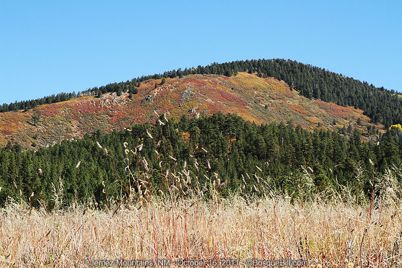
Single image of an oak covered hillside near Redondo Peak.
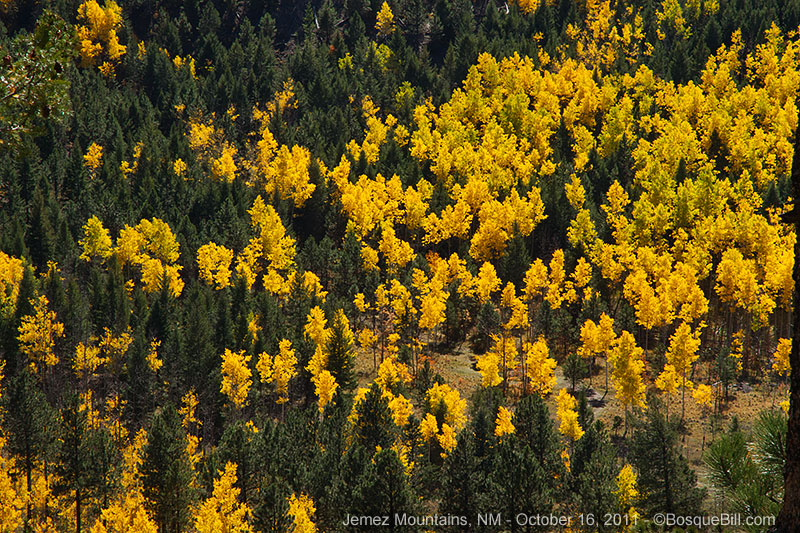
Single image overlooking FS 376
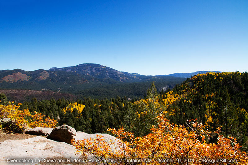
Single image; note oak covered hillside at left shown in photo above.
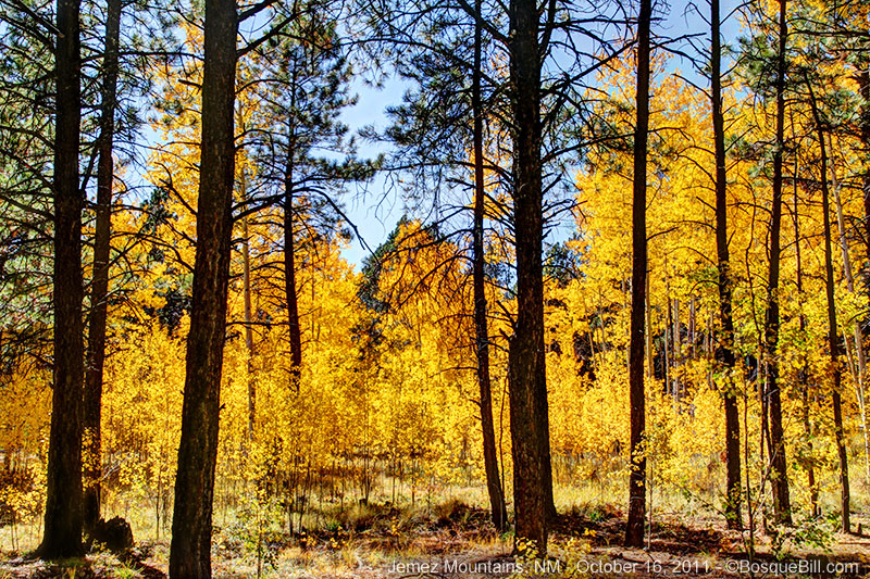
Exposure fusion looking through the pines into the backlit aspen.

Tone-mapped, backlit aspen grove.

Exposure fusion looking south along forest road.

Exposure fusion, double track paralleling FS 376.

Tone-mapped aspen grove, pines and firs.
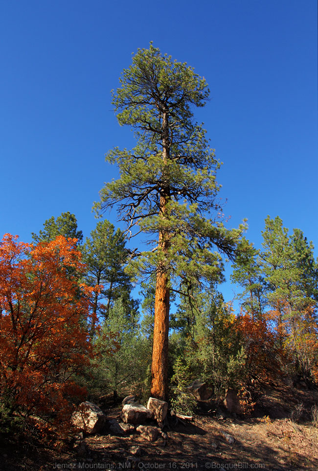
Tone-mapped stately Ponderosa pine

Tone-mapped oaks along the river.

Two-image fusion; sun was behind the ridge leaving this stretch of road in shadow.

Tone-mapped; facing back north away from tunnel entrance.

Tone-mapped
canyon and upper of two tunnels.